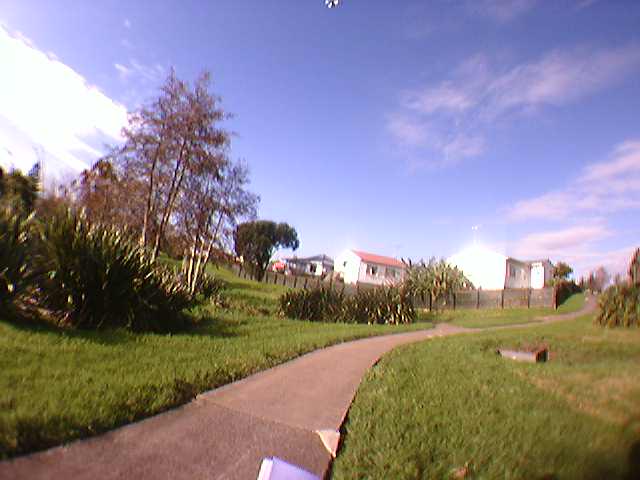
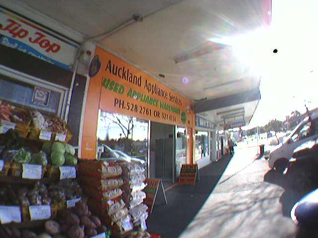
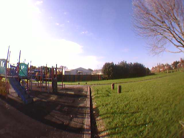
Findings from our Kids in the City research indicate that parental concerns over safety reduce children’s opportunities to move around their neighbourhoods. International research shows that certain environmental features (e.g. traffic, graffiti, verge width, eyes on the street/park/alleyways) influence perceptions of neighbourhood safety. These environmental features are difficult to capture using existing methods such as Geographic Information Systems (GIS) and observational streetscape audits: GIS data does not include most of the relevant environmental features and streetscape audits based on Google Streetview are limited to streets only, thereby excluding neighbourhood locations — such as parks — that may be important to children’s mobility.
SenseCam, a wearable digital camera that automatically takes a photo every few seconds, has the potential to fill this data gap. This research investigated the potential of SenseCam as a method for collecting comprehensive neighbourhood environment data during neighbourhood walking interviews — data not accessible through other methods of data collection such as global positioning systems (GPS), digital cameras and digital voice recorders. While data from GPS, photographs and interviews illustrate the varied concerns of children, they do not provide a comprehensive record of physical aspects of the neighbourhood environment.
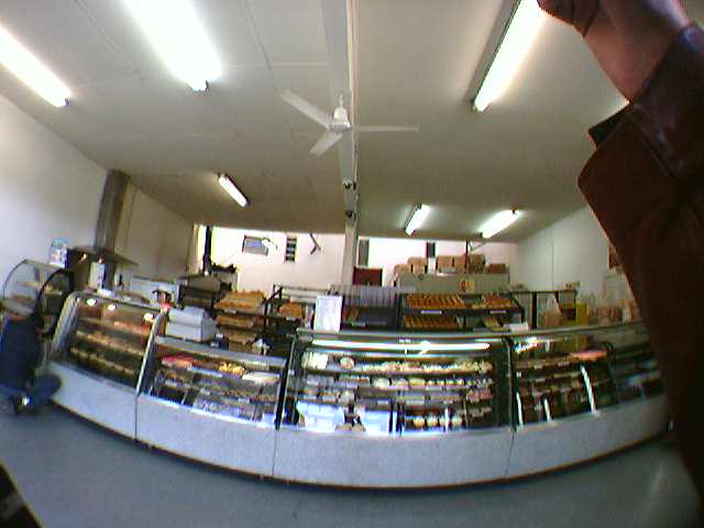
A research assistant wore a SenseCam and retraced the neighbourhood walking interview routes in two neighbourhoods taken by 12 participants from the Kids in the City study. An image coding frame was developed drawing on existing street and park audit tools (i.e. NZSPACES, POST) as well those environmental features identified by children, their parents and the research literature as influencing experiences of neighbourhood safety. This coding frame was used to categorise the SenseCam images which were then linked to the interview transcripts using timestamps and GPS data.
Conclusions were that SenseCam images have the potential to complement existing methods of measuring the environment, such as GIS and in situ and virtual audits. Main strengths of the technology are: it can capture features for which no other dataset exists; it can capture characteristics of the exact environment that a SenseCam wearer is exposed to; and it has the potential to link data about the environment with that from other wearable sensors (e.g., GPS, accelerometers, skin conductivity sensors), although further research is needed to test the validity and reliability of this approach. A downside of Sensecam use in this trial was the time required to process, code and analyse images.
Contact researcher: Suzanne Mavoa